Rescuing and Sharing Historical Vegetation Data for Ecological Analysis: The California Vegetation Type Mapping Project
DOI:
https://doi.org/10.17161/bi.v11i1.5886Keywords:
VTM, vegetation mapping, historical data, California, climate change, application programming interface, APIAbstract
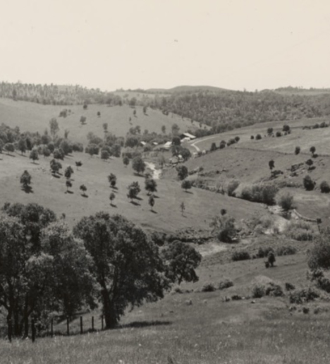
Research efforts that synthesize historical and contemporary ecological data with modeling approaches improve our understanding of the complex response of species, communities, and landscapes to changing biophysical conditions through time and in space. Historical ecological data are particularly important in this respect. There are remaining barriers that limit such data synthesis, and technological improvements that make multiple diverse datasets more readily available for integration and synthesis are needed. This paper presents one case study of the Wieslander Vegetation Type Mapping project in California and highlights the importance of rescuing, digitizing and sharing historical datasets. We review the varied ecological uses of the historical collection: the vegetation maps have been used to understand legacies of land use change and plan for the future; the plot data have been used to examine changes to chaparral and forest communities around the state and to predict community structure and shifts under a changing climate; the photographs have been used to understand changing vegetation structure; and the voucher specimens in combination with other specimen collections have been used for large scale distribution modeling efforts. The digitization and sharing of the data via the web has broadened the scope and scale of the types of analysis performed. Yet, additional research avenues can be pursued using multiple types of VTM data, and by linking VTM data with contemporary data. The digital VTM collection is an example of a data infrastructure that expands the potential of large scale research through the integration and synthesis of data drawn from numerous data sources; its journey from analog to digital is a cautionary tale of the importance of finding historical data, digitizing it with best practices, linking it with other datasets, and sharing it with the research community.
Metrics
Downloads
Downloads
Published
Issue
Section
License
Copyright for articles published in this journal is retained by the authors, with first publication rights granted to the journal. All articles are licensed under a Creative Commons Attribution Non-Commercial license.
Competing Interests: The authors have declared that no competing interests exist.
