Seismic-reflection surveys at sinkholes in central Kansas
DOI:
https://doi.org/10.17161/kgsbulletin.no.226.20497Abstract
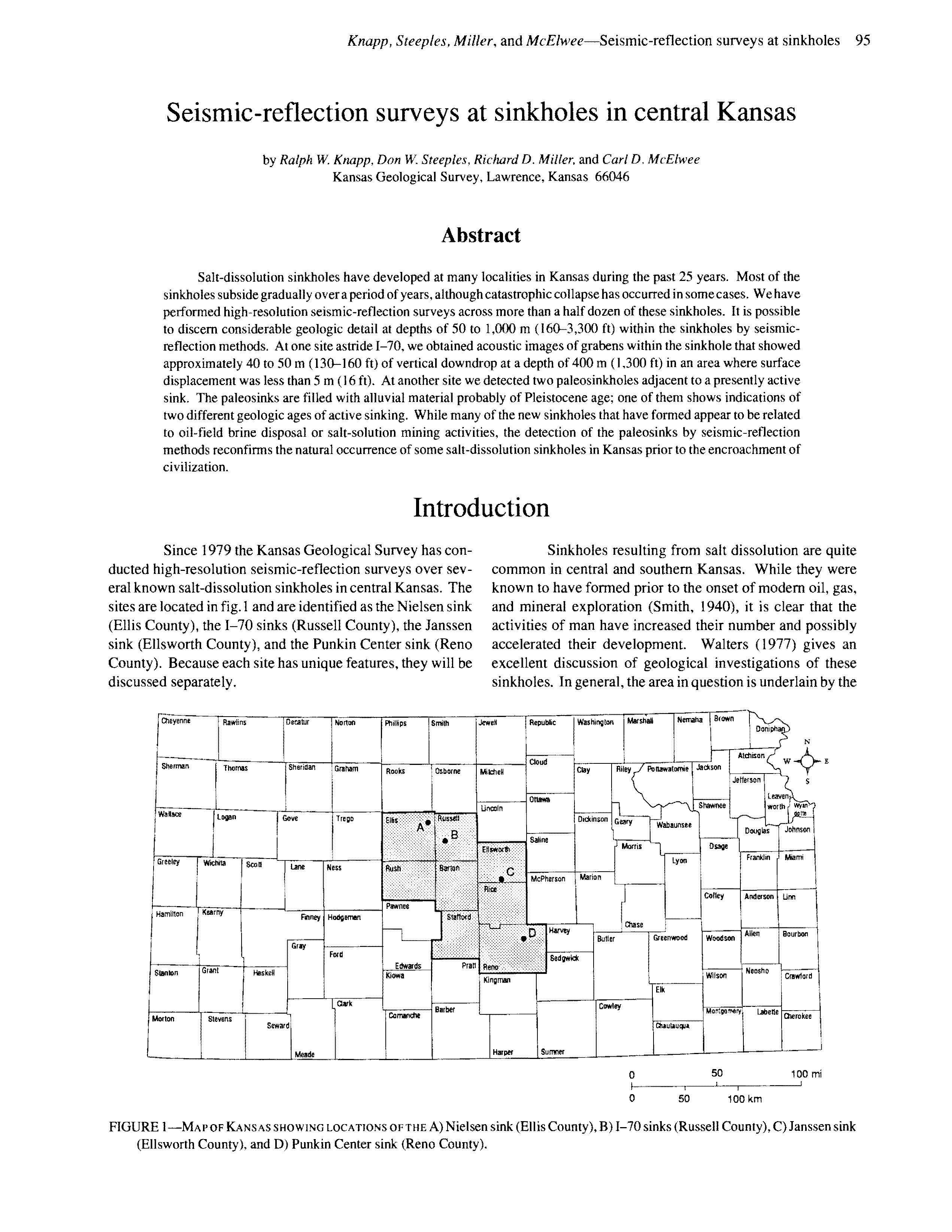
Salt-dissolution sinkholes have developed at many localities in Kansas during the past 25 years. Most of the sinkholes subside gradually over a period of years, although catastrophic collapse has occurred in some cases. We have performed high-resolution seismic-reflection surveys across more than a half dozen of these sinkholes. It is possible to discern considerable geologic detail at depths of 50 to 1,000 m (160-3,300 ft) within the sinkholes by seismic-reflection methods. At one site astride I-70, we obtained acoustic images of grabens within the sinkhole that showed approximately 40 to 50 m (130-160 ft) of vertical downdrop at a depth of 400 m (1,300 ft) in an area where surface displacement was less than 5 m (16 ft). At another site we detected two paleosinkholes adjacent to a presently active sink. The paleosinks are filled with alluvial material probably of Pleistocene age; one of them shows indications of two different geologic ages of active sinking. While many of the new sinkholes that have formed appear to be related to oil-field brine disposal or salt-solution mining activities, the detection of the paleosinks by seismic-reflection methods reconfirms the natural occurrence of some salt-dissolution sinkholes in Kansas prior to the encroachment of civilization.
Downloads