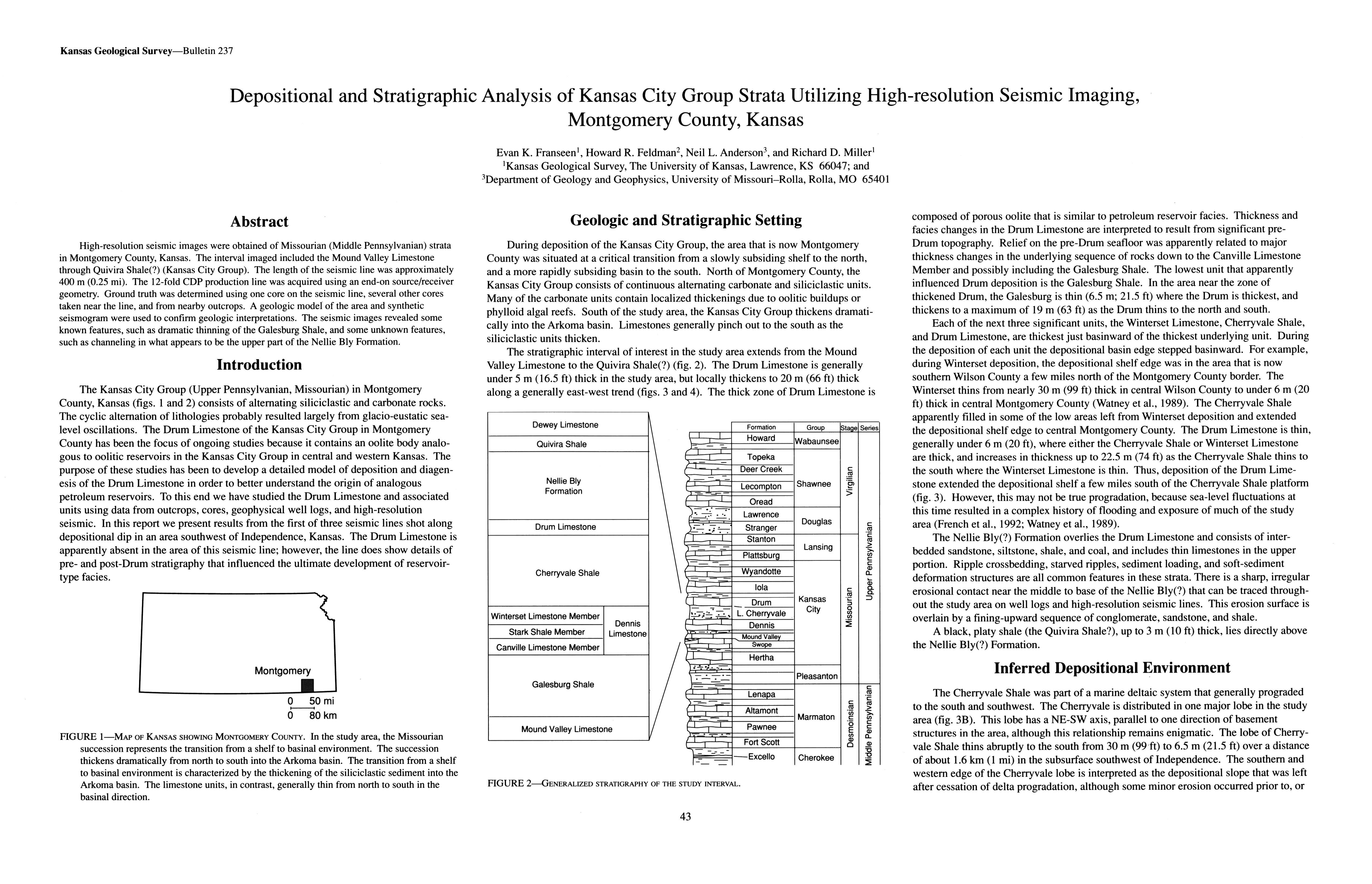
Depositional and Stratigraphic Analysis of Kansas City Group Strata Utilizing High-resolution Seismic Imaging, Montgomery County, Kansas
DOI:
https://doi.org/10.17161/kgsbulletin.no.237.20421Abstract
High-resolution seismic images were obtained of Missourian (Middle Pennsylvanian) strata in Montgomery County, Kansas. The interval imaged included the Mound Valley Limestone through Quivira Shale(?) (Kansas City Group). The length of the seismic line was approximately 400 m (0.25 mi). The 12-fold CDP production line was acquired using an end-on source/receiver geometry. Ground truth was determined using one core on the seismic line, several other cores taken near the line, and from nearby outcrops. A geologic model of the area and synthetic seismogram were used to confirm geologic interpretations. The seismic images revealed some known features, such as dramatic thinning of the Galesburg Shale, and some unknown features, such as channeling in what appears to be the upper part of the Nellie Bly Formation.
Downloads