Minneola Complex, Ford and Clark Counties, Kansas
DOI:
https://doi.org/10.17161/kgsbulletin.no.237.20430Abstract
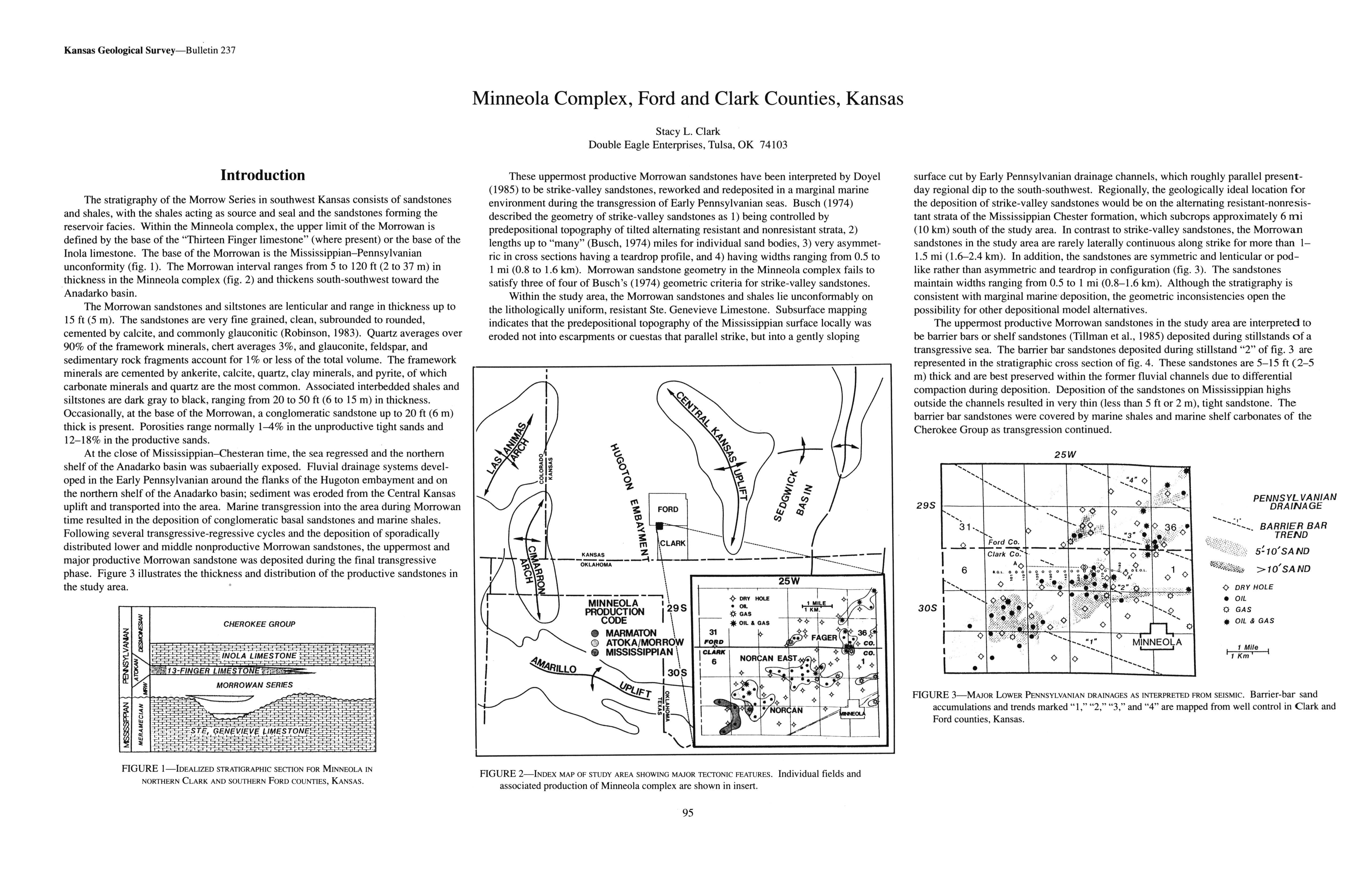
The stratigraphy of the Morrow Series in southwest Kansas consists of sandstones and shales, with the shales acting as source and seal and the sandstones forming the reservoir facies. Within the Minneola complex, the upper limit of the Morrowan is defined by the base of the "Thirteen Finger limestone" (where present) or the base of the Inola limestone. The base of the Morrowan is the Mississippian-Pennsylvanian unconformity (fig. 1). The Morrowan interval ranges from 5 to 120 ft (2 to 37 m) in thickness in the Minneola complex (fig. 2) and thickens south-southwest toward the Anadarko basin.
Downloads
Download data is not yet available.

Downloads
Published
2024-04-16
Issue
Section
Articles
How to Cite
Clark, S. L. . (2024). Minneola Complex, Ford and Clark Counties, Kansas. Bulletin (Kansas Geological Survey), 237, 95-98. https://doi.org/10.17161/kgsbulletin.no.237.20430
