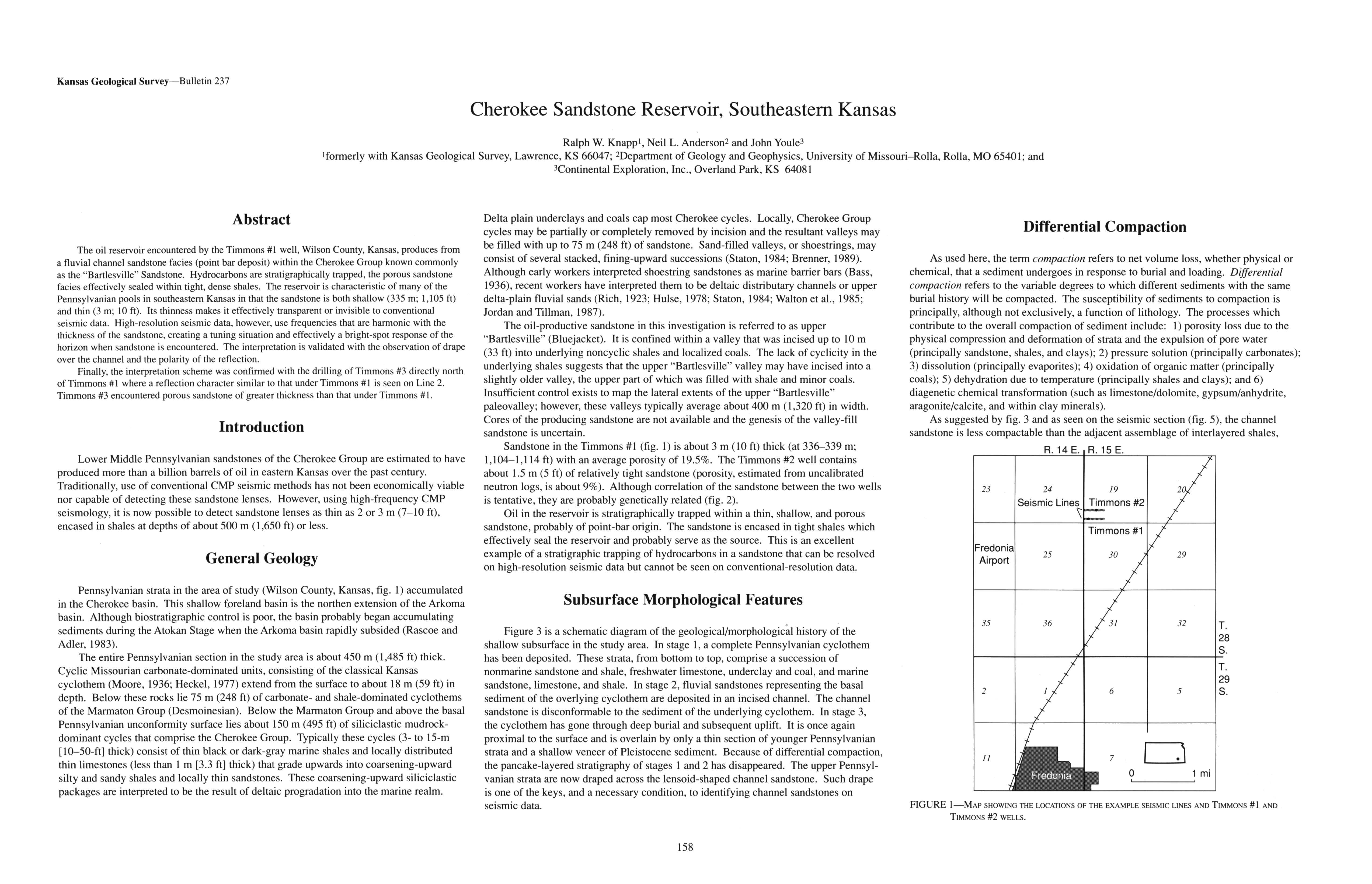
Cherokee Sandstone Reservoir, Southeastern Kansas
DOI:
https://doi.org/10.17161/kgsbulletin.no.237.20439Abstract
The oil reservoir encountered by the Timmons #1 well, Wilson County, Kansas, produces from a fluvial channel sandstone facies (point bar deposit) within the Cherokee Group known commonly as the "Bartlesville" Sandstone. Hydrocarbons are stratigraphically trapped, the porous sandstone facies effectively sealed within tight, dense shales. The reservoir is characteristic of many of the Pennsylvanian pools in southeastern Kansas in that the sandstone is both shallow (335 m; 1,105 ft) and thin (3 m; 10 ft). Its thinness makes it effectively transparent or invisible to conventional seismic data. High-resolution seismic data, however, use frequencies that are harmonic with the thickness of the sandstone, creating a tuning situation and effectively a bright-spot response of the horizon when sandstone is encountered. The interpretation is validated with the observation of drape over the channel and the polarity of the reflection.
Finally, the interpretation scheme was confirmed with the drilling of Timmons #3 directly north of Timmons #1 where a reflection character similar to that under Timmons #1 is seen on Line 2. Timmons #3 encountered porous sandstone of greater thickness than that under Timmons #1.
Downloads