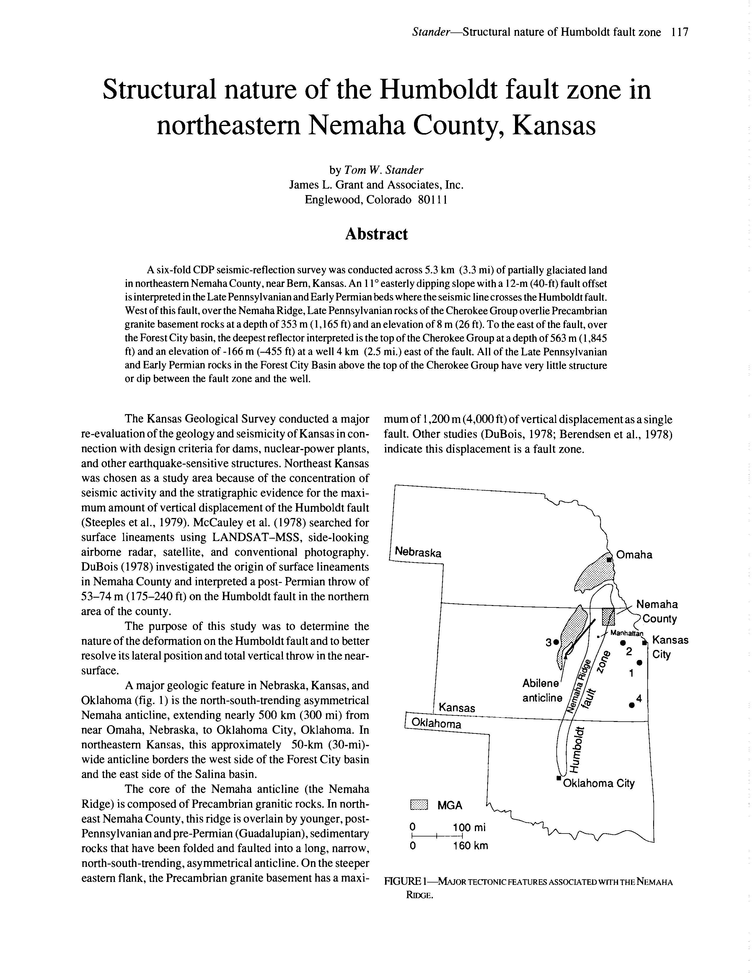
Structural nature of the Humboldt fault zone in northeastern Nemaha County, Kansas
DOI:
https://doi.org/10.17161/kgsbulletin.no.226.20498Abstract
A six-fold CDP seismic-reflection survey was conducted across 5.3 km (3.3 mi) of partially glaciated land in northeastern Nemaha County, near Bern, Kansas. An 110 easterly dipping slope with a 12-m (40-ft) fault offset is interpreted in the Late Pennsylvanian and Early Permian beds where the seismic line crosses the Humboldt fault. West of this fault, over the Nemaha Ridge, Late Pennsylvanian rocks of the Cherokee Group overlie Precambrian granite basement rocks at a depth of 353 m (1,165 ft) and an elevation of 8 m (26 ft). To the east of the fault, over the Forest City basin, the deepest reflector interpreted is the top of the Cherokee Group at a depth of 563 m (1,845 ft) and an elevation of -166 m (-455 ft) at a well 4 km (2.5 mi.) east of the fault. All of the Late Pennsylvanian and Early Permian rocks in the Forest City Basin above the top of the Cherokee Group have very little structure or dip between the fault zone and the well.
Downloads