Exploration Case History, Coats South Area, Barber County, Kansas
DOI:
https://doi.org/10.17161/kgsbulletin.no.237.20435Abstract
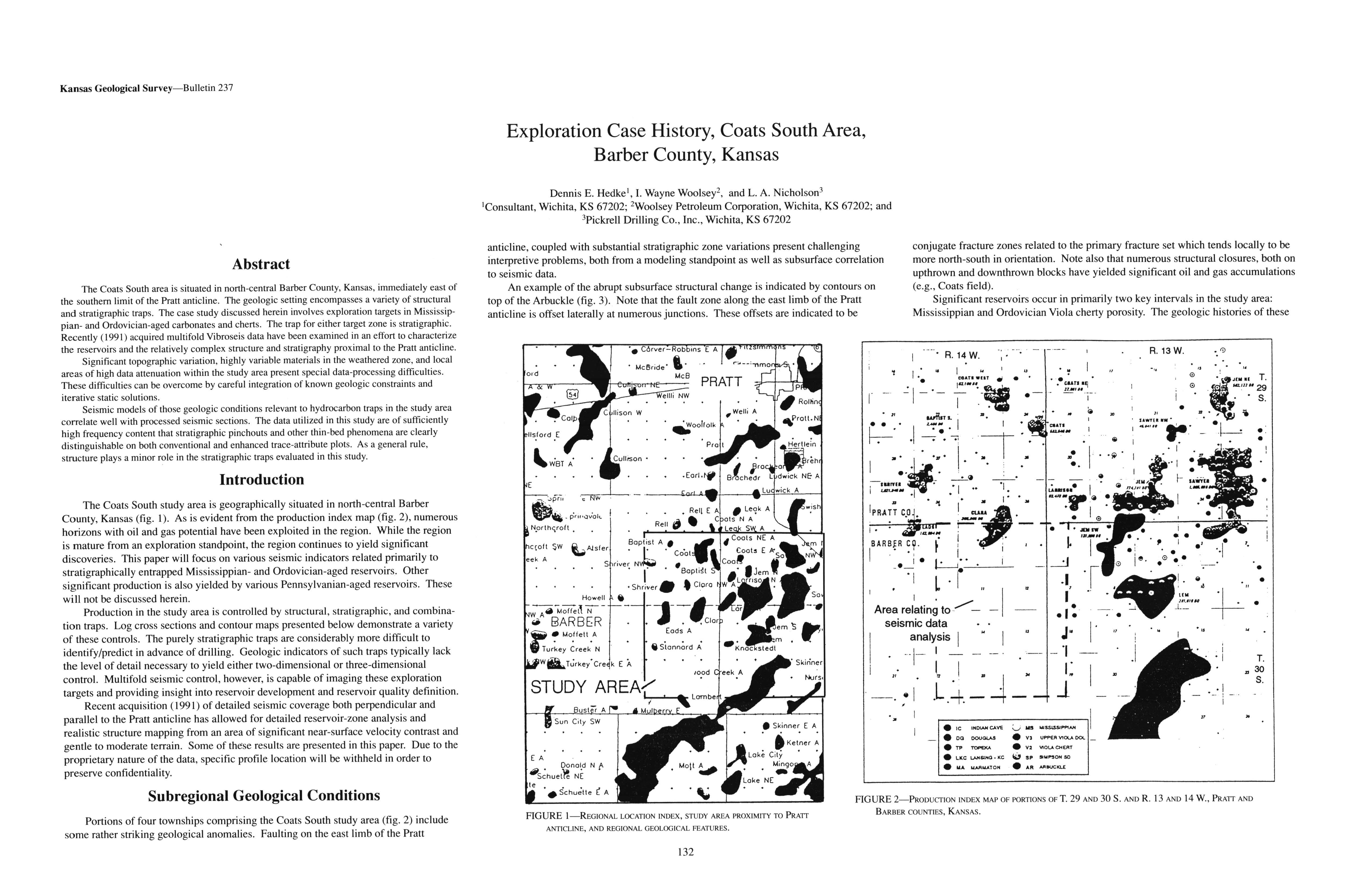
The Coats South area is situated in north-central Barber County, Kansas, immediately east of the southern limit of the Pratt anticline. The geologic setting encompasses a variety of structural and stratigraphic traps. The case study discussed herein involves exploration targets in Mississippian- and Ordovician-aged carbonates and cherts. The trap for either target zone is stratigraphic. Recently (1991) acquired multifold Vibroseis data have been examined in an effort to characterize the reservoirs and the relatively complex structure and stratigraphy proximal to the Pratt anticline.
Significant topographic variation, highly variable materials in the weathered zone, and local areas of high data attenuation within the study area present special data-processing difficulties. These difficulties can be overcome by careful integration of known geologic constraints and iterative static solutions.
Seismic models of those geologic conditions relevant to hydrocarbon traps in the study area correlate well with processed seismic sections. The data utilized in this study are of sufficiently high frequency content that stratigraphic pinchouts and other thin-bed phenomena are clearly distinguishable on both conventional and enhanced trace-attribute plots. As a general rule, structure plays a minor role in the stratigraphic traps evaluated in this study.
Downloads